A Blank Saudi Arabia Map is a highly useful resource for students, teachers, travelers, and anyone interested in geography or regional studies. A clean outline PNG map provides a simple yet effective visual representation of the country without labels, making it perfect for educational exercises, map labeling, and creative uses.
Saudi Arabia, located in the Middle East, occupies most of the Arabian Peninsula and shares borders with countries such as Jordan, Iraq, Kuwait, Qatar, the United Arab Emirates, Oman, and Yemen. Its strategic location and vast desert landscapes make it a fascinating subject for mapping activities.
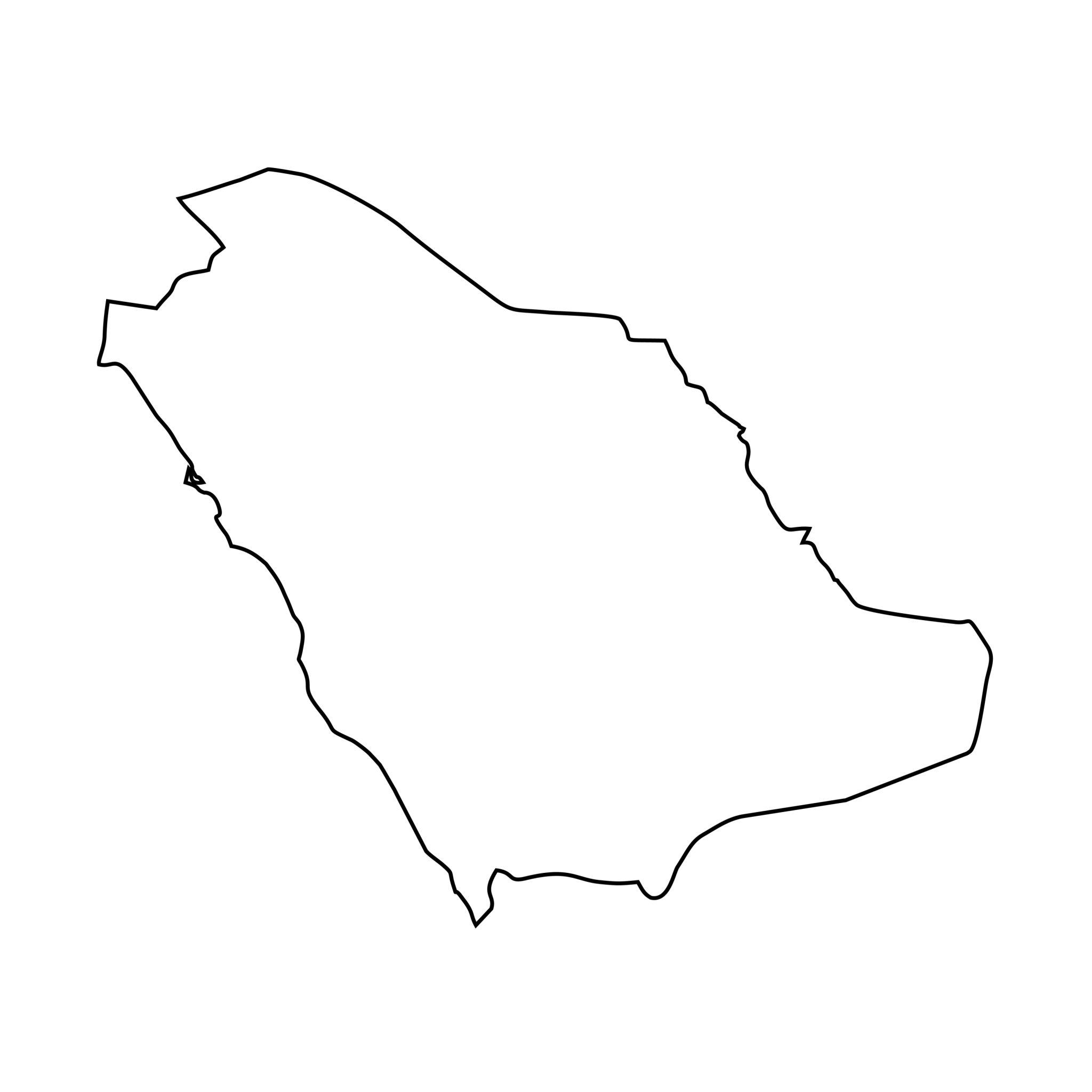
Printable Map of Saudi Arabia
Using a blank outline map of Saudi Arabia allows learners to actively engage with geography rather than passively observe it. Students can label major cities such as Riyadh, Jeddah, and Mecca, draw borders, mark neighboring countries, or highlight physical features like deserts and coastlines.
Teachers often use these maps in classrooms to test knowledge or create interactive assignments. Because the map is in PNG format, it is easy to print, share digitally, or edit using simple graphic tools. Saudi Arabia is known for its vast deserts, including the Rub’ al Khali or Empty Quarter, which is one of the largest sand deserts in the world. By using a blank map, learners can mark this desert region and understand its geographical significance.
The country also has coastlines along the Red Sea and the Arabian Gulf, which can be highlighted on an outline map to better understand trade routes and climate influences. A printable map makes it easier to visualize these features in a hands-on way.
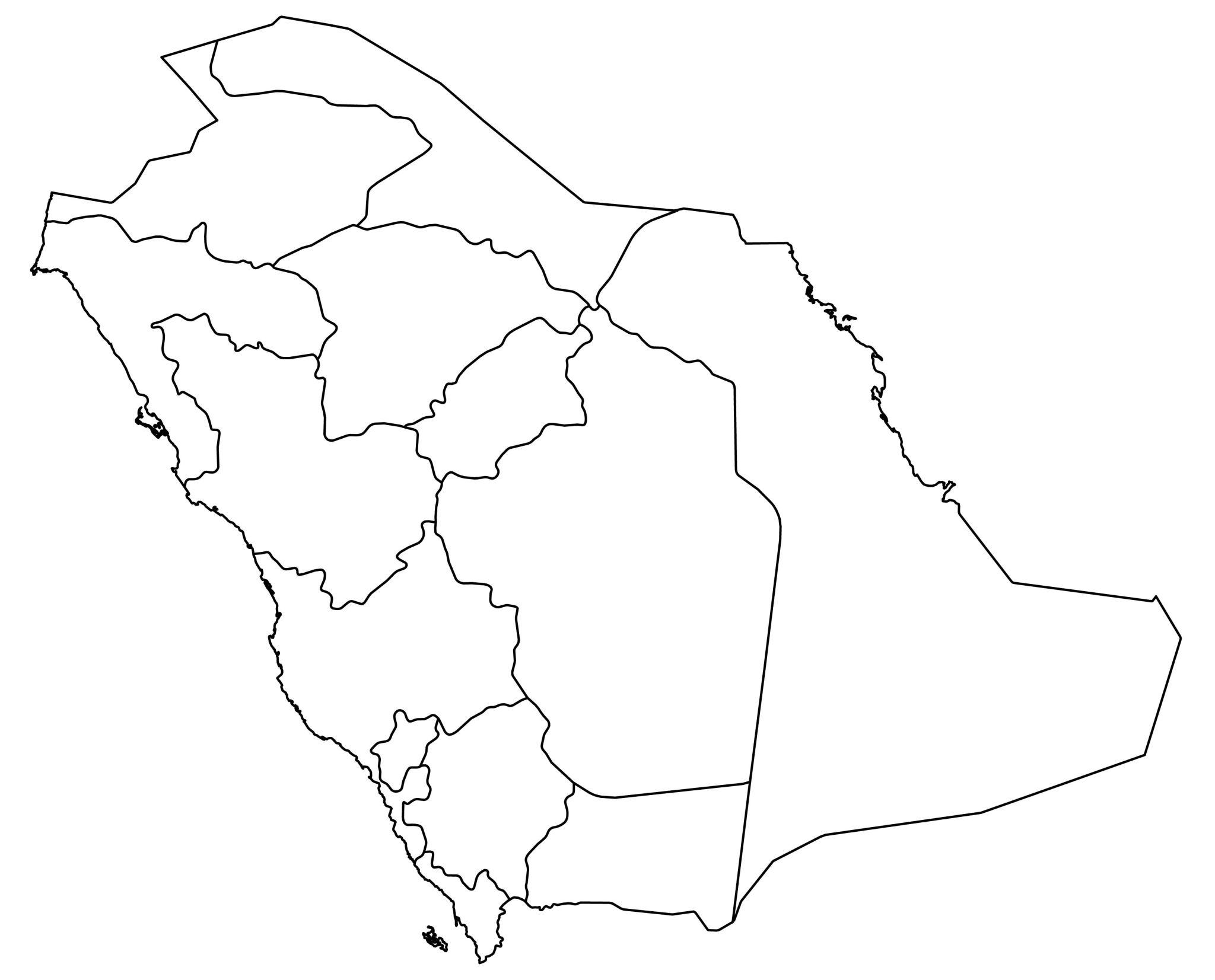
Blank Saudi Arabia Map Outline
Another advantage of using a blank Saudi Arabia map is its flexibility for different purposes. For educational use, it can be part of geography lessons, quizzes, or homework assignments. For travelers, it can help in planning routes or understanding regional divisions. For designers or content creators, an outline PNG map can be used in presentations, infographics, or blog posts. Since PNG files usually have transparent backgrounds, they can be easily integrated into various digital projects without extra editing.
The simplicity of a blank map also encourages creativity. Students can color different regions, create thematic maps showing population density or climate zones, or even design their own custom maps. Teachers often find that such interactive tools increase student engagement and retention.
- Exploring a Blank Map of Brazil
- Printable Blank World Map
- Blank World Map With Continents
- Printable Labeled Map of Asia
- Printable Blank Iran Map
- Blank Strait of Hormuz Map
- Bab el-Mandeb Strait Map
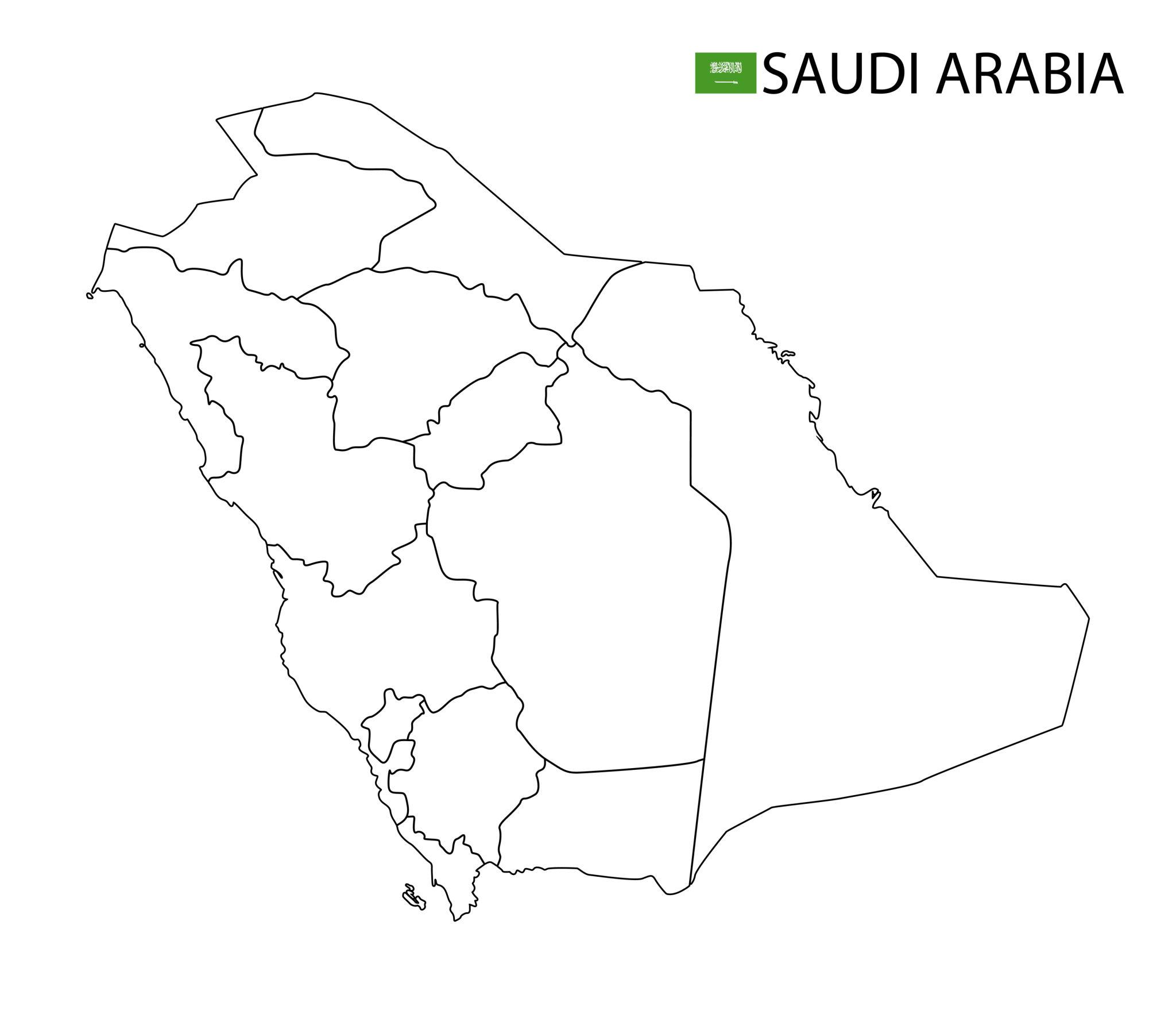
Map of Saudi Arabia For Practice Worksheet
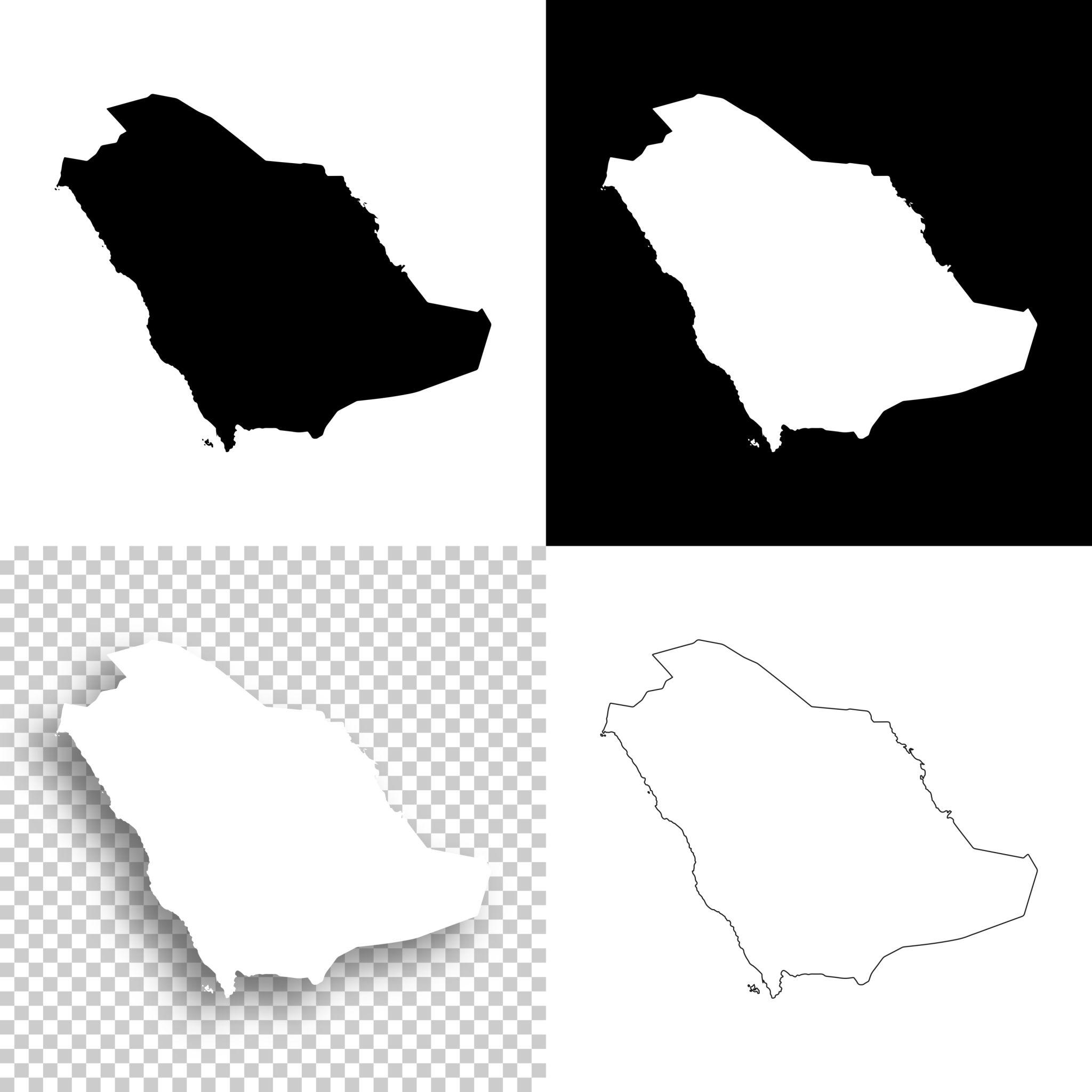
When selecting a printable blank Saudi Arabia map, it is important to choose a high-resolution PNG file. A clear and sharp outline ensures that the map remains legible when printed or zoomed in. Black and white versions are particularly popular because they are printer-friendly and allow users to customize colors as needed.
Some maps also include faint boundary lines for guidance, while others are completely blank for more advanced exercises. Digital accessibility is another key benefit. With the increasing use of online education and remote learning, having access to downloadable resources like blank maps is more important than ever.
Students can download the map, print it at home, and complete assignments without needing specialized materials. Teachers can also distribute these maps through email or learning platforms, making the learning process more efficient.
Transparent Blank Saudi Arabia Map PNG
A blank map of Saudi Arabia is also useful for competitive exam preparation. Many exams include map-based questions that require students to identify locations, borders, or geographical features. Practicing with a blank outline map helps improve accuracy and confidence. Over time, repeated practice can help students memorize the country’s shape, neighboring regions, and key locations.
For travel enthusiasts, a blank map can serve as a planning tool. Travelers can mark destinations they wish to visit, such as historical sites, المدن الكبرى, or coastal areas. It can also be used to track travel routes or create personalized itineraries. This adds a practical dimension to the use of blank maps beyond the classroom.
Summary
In addition to educational and travel purposes, blank maps are often used in business and research. Analysts may use them to present data related to demographics, economics, or logistics. A simple outline map provides a clean base for adding data points, charts, or visual indicators. This makes it easier to communicate complex information in a clear and visually appealing way.
Overall, a printable blank Saudi Arabia outline PNG map is a versatile and valuable resource. Whether used for learning, planning, designing, or analysis, it offers a simple yet powerful way to engage with geographical information. Its flexibility, ease of use, and wide range of applications make it an essential tool for anyone interested in understanding Saudi Arabia better.
FAQs
1. What is a printable blank Saudi Arabia map?
A printable blank Saudi Arabia map is an outline map without labels or markings that can be printed and used for educational, travel, or creative purposes.
2. Why use a PNG format map?
PNG format maps offer high quality and often include transparent backgrounds, making them easy to edit, print, and use in digital projects.
3. Who can use a blank Saudi Arabia map?
Students, teachers, travelers, designers, and researchers can all benefit from using a blank map for different purposes.
4. Can I use the map for school projects?
Yes, blank maps are ideal for school assignments, quizzes, and geography projects.
5. How do I print the map?
Simply download the PNG file, open it on your device, and print it using a standard printer. Ensure the resolution is high for best results.
6. What can I label on the map?
You can label cities, borders, neighboring countries, deserts, coastlines, and other geographical features.
7. Is the map useful for exam preparation?
Yes, practicing with a blank map helps improve geographical knowledge and is useful for competitive exams.
8. Can I edit the PNG map?
Yes, PNG maps can be edited using basic image editing software or even online tools.
9. Are these maps free to use?
Many blank maps are available for free, but always check usage rights before using them commercially.
10. What size should I print the map?
You can print it in standard sizes like A4 or adjust according to your needs, depending on the resolution of the file.