A Blank Kazakhstan Map is a highly useful tool for students, teachers, travelers, and researchers who want to explore the geography of one of the largest countries in Central Asia. Kazakhstan is the ninth-largest country in the world, known for its vast steppes, diverse landscapes, and rich cultural heritage.
A blank map removes all labels, cities, and border details, allowing users to interact with the map more actively and engagingly. Whether for educational purposes, travel planning, or creative design, a blank map provides flexibility and encourages deeper understanding.
- Exploring a Blank Map of Brazil
- Printable Blank World Map
- Blank World Map With Continents
- Printable Labeled Map of Asia
- Printable Blank Iran Map
- Blank Strait of Hormuz Map
- Bab el-Mandeb Strait Map
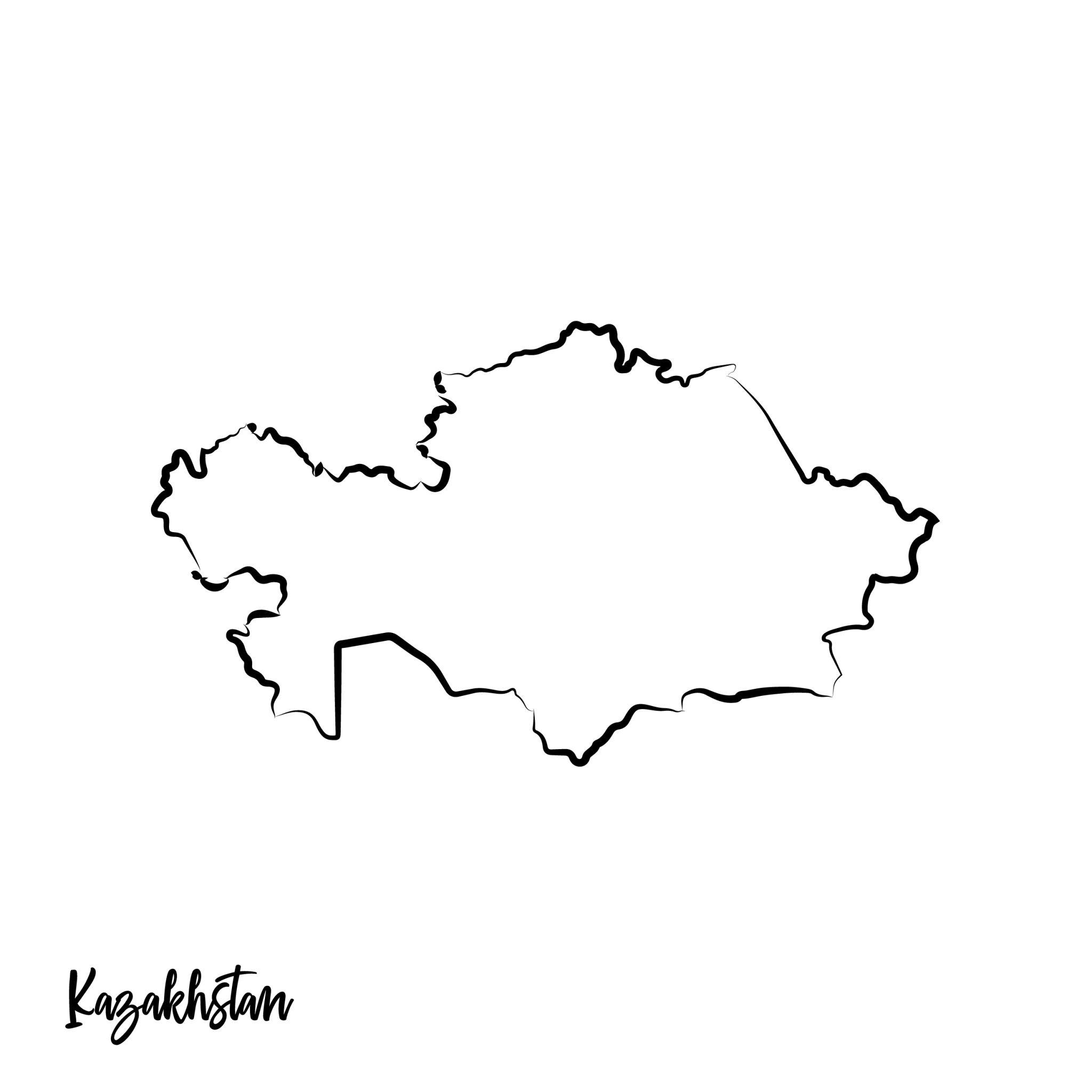
Blank Kazakhstan Map – Outline
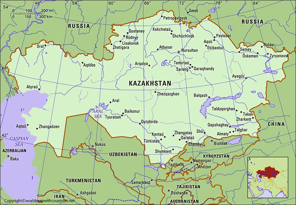
Using a blank map of Kazakhstan helps learners visualize the country’s geographical position without distractions. Kazakhstan shares borders with countries like Russia, China, Kyrgyzstan, Uzbekistan, and Turkmenistan, making it a key region in Eurasia. By working with an unlabeled map, users can practice identifying these neighboring countries, draw boundaries, or mark important locations such as major cities and rivers.
This kind of hands-on learning is particularly beneficial for students studying geography or preparing for exams. Blank maps are also widely used in classrooms because they promote active participation. Instead of simply reading about locations, students can label regions, draw physical features, and test their memory.
Teachers often distribute printable blank Kazakhstan maps during quizzes or assignments to assess students’ understanding. These maps can be customized based on the level of difficulty, from simple outlines to more detailed versions that include faint borders or grid lines.
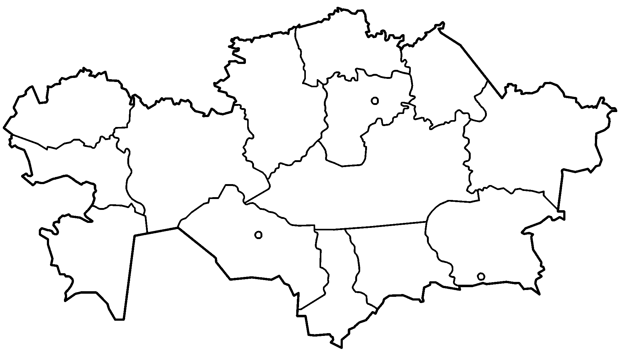
Map of Kazakhstan for Practice Worksheet
Another important use of blank Kazakhstan maps is in travel planning. Travelers who wish to explore Kazakhstan can use these maps to mark destinations, plan routes, and understand distances between cities. Popular cities like Almaty and Nur-Sultan (Astana) can be plotted manually, helping travelers build a mental map of the country.
This approach is especially helpful for those planning road trips or exploring remote regions where digital maps may not always be accessible. In addition to education and travel, blank maps are valuable for creative and professional projects. Designers, content creators, and researchers often use blank maps to create customized visuals.
For example, a researcher studying population distribution might use a blank Kazakhstan map to highlight different regions with colors or symbols. Similarly, bloggers and educators can create infographics by adding labels and annotations to the map. Because the base map is clean and uncluttered, it provides a perfect canvas for customization.
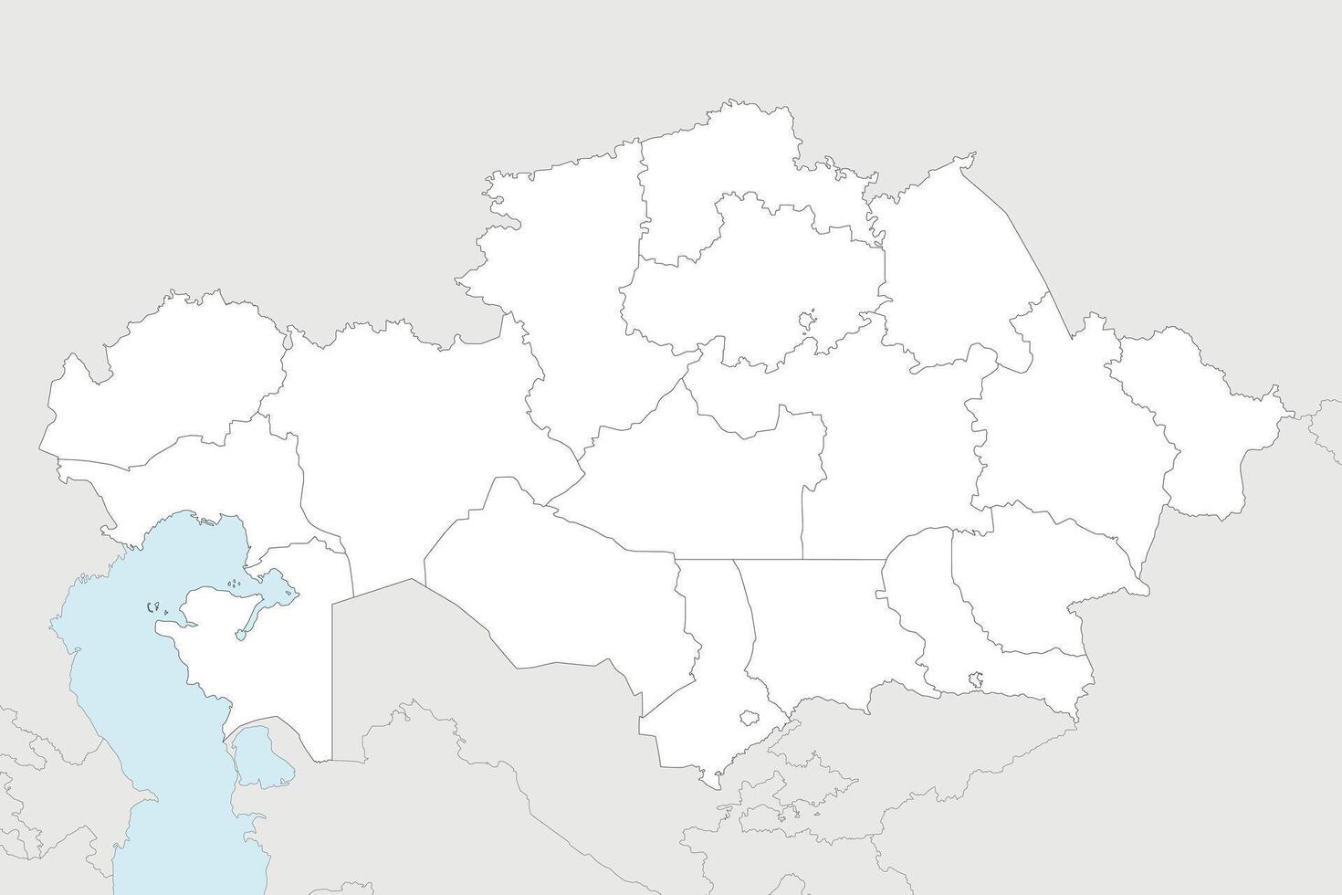
Printable Map of Kazakhstan
Printable blank Kazakhstan maps are particularly popular because they are easy to use. Users can download and print them for offline use, making them convenient for classrooms and personal study. These maps are usually available in various formats such as PDF, PNG, or SVG, allowing users to choose the format that best suits their needs.
Printable maps are also cost-effective, as many high-quality versions are available for free online. Digital blank maps offer even more flexibility. With editing tools, users can add labels, draw boundaries, and create interactive content.
For example, teachers can use digital maps in presentations, while students can complete assignments using graphic design software. Digital maps are also ideal for remote learning environments, where physical materials may not be available. The ability to zoom in and out, adjust colors, and add layers makes digital blank maps a powerful tool for modern education.
Transparent PNG Blank Kazakhstan Map
One of the key benefits of using a blank Kazakhstan map is that it enhances memory retention. When users actively engage with the map by labeling and drawing, they are more likely to remember the information.
This method of learning is often referred to as active recall, which is proven to be more effective than passive reading. By repeatedly practicing with blank maps, learners can quickly improve their geographical knowledge.
Blank maps also encourage curiosity and exploration. Without labels, users are prompted to ask questions such as where certain cities are located, how rivers flow, or how regions are divided. This curiosity leads to deeper research and a better understanding of the country. For example, users might explore Kazakhstan’s diverse landscapes, from the Caspian Sea in the west to the Altai Mountains in the east, and mark these features on the map.
Another advantage is that blank maps can be used for multiple purposes beyond geography. They are often used in history lessons to track historical events, in economics to study trade routes, and even in environmental studies to analyze climate patterns. A blank Kazakhstan map can serve as a foundation for various types of learning, making it a versatile resource.
For students preparing for competitive exams, blank maps are an essential study tool. Many exams include map-based questions that require identifying locations or marking regions. Practicing with blank maps helps students build confidence and improve accuracy. Over time, they develop a strong mental image of the country’s geography, which can be extremely helpful during exams.
In the digital age, the availability of blank maps online has made them more accessible than ever. Websites offer a wide range of options, from simple outlines to detailed maps with customizable features. Users can choose maps based on their specific needs, whether for education, travel, or creative projects. The ability to instantly download and use these maps has made them a popular choice worldwide.
Conclusion
In conclusion, a blank Kazakhstan map is a powerful and versatile tool that can be used for education, travel, research, and creative projects. Its simplicity allows users to customize it according to their needs, making it suitable for a wide range of applications.
Whether you are a student, teacher, traveler, or content creator, a blank map can help you better understand and explore Kazakhstan. By actively engaging with the map, users can enhance their knowledge, improve memory retention, and develop a deeper appreciation for geography.
Moreover, blank Kazakhstan maps are not limited to academic use. They can also be used for fun activities such as quizzes, puzzles, and games. For example, friends or family members can challenge each other to label cities or regions, turning learning into an enjoyable experience. This interactive approach makes geography more engaging and less intimidating.
FAQs
1. What is a Blank Kazakhstan Map?
A blank Kazakhstan map is an unlabeled outline of the country that does not include city names, borders, or geographical details, allowing users to add their own information.
2. How can I use a Blank Kazakhstan Map For Study?
You can use it to label cities, mark rivers, identify neighboring countries, and practice geography for exams.
3. Where can I download a Printable Blank Kazakhstan Map?
Many educational and geography websites offer free downloadable maps in formats like PDF and PNG.
4. Is a Blank Map useful for Travel Planning?
Yes, it helps travelers visualize routes, mark destinations, and understand the country’s layout.
5. Can I Edit a Blank Kazakhstan Map Digitally?
Yes, you can use tools like graphic design software or online editors to customize the map.
6. Why are Blank Maps Important For Learning?
They promote active learning, improve memory retention, and help users better understand geographical concepts.
7. Are Blank Maps Suitable For All Age Groups?
Yes, they can be adapted for beginners as well as advanced learners, making them suitable for everyone.